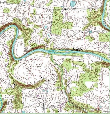
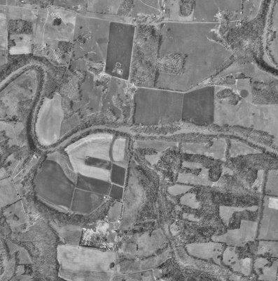
The islands are about two-thirds of the way through the 16-mile trip. Probably four hours of paddling assuming low water.
Click on any of these to zoom in...


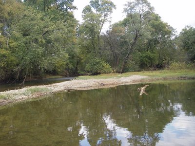
This is a photo looking upstream from below the islands. The two tall trees in the center background are on the large island:

From La Pavilion to La Penninsula! Standing on the gravel bar, looking downstream:

This shot is taken from the large island, looking downstream at the campsite:

Keep in mind, the scenery won't be quite the same in November. Stuart, can your guys superimpose a light dusting of snow on these images?
No comments:
Post a Comment