Monday, November 14, 2005

Same Day, Different River

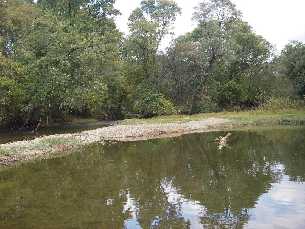
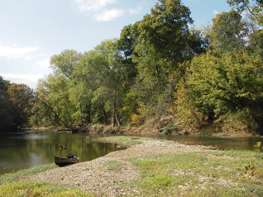
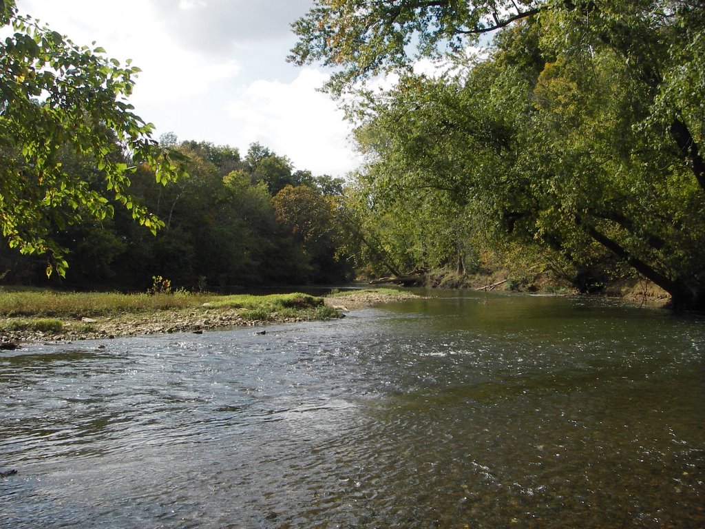
Sorry about changing streams in mid-stream, but we're going to abandon the Red River plan and go back to the Duck. We will prove Heraclitus wrong and step in the same river twice this year - different section though.

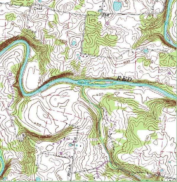
The rain is not doing us any good, and in the event we actually got enough water we'd have less gravel bar which could be a problem since we're up to 13 people, 3 dogs, 2 pigs, 1 mullet and a washtub bass. Here's a map of the Duck:

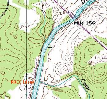


Once again, we will be headed for an island right at the mouth of a creek. It's in the middle of the river just across from Cedar Creek on this map, even though it doesn't show an island....which is ironic because on the Red River the map showed an island that wasn't really an island at all. Maybe the Bell Witch had something to do with that. But this one is a real, honest to goodness island "entire of itself". And that should be reason enough to change plans, as those of you who have done your reading already know:


CHAPTER TEN
Because I liked the look of it, I stopped there in the middle of a quiet bright afternoon and made a solid camp on flat gravel under willows, eight feet above the water but only a few nearly vertical steps from the canoe. I was tired and my gear needed tending, and it looked like the kind of place I'd been waiting for to spend a couple of nights and to loaf through a little of what the abstractly alliterative military schedules used to call "matérial maintenance." Islands are special, anyhow, as children know with a leaping instinct, and when they lie in public domain you can have a fine sense of temporary ownership about them that's hard to get on shores, inside or outside of fences.


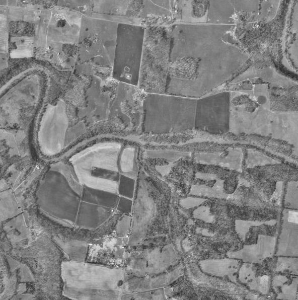
The island does show up on the aerial photo. We'll be on the upstream tip, looking straight up Cedar Creek at a small waterfall that we can use to reenact the Hamm's Beer Sign-O-Rama with Jim's red Old Town canoe....


The campsite is about nine river miles from the Carpenter Bridge put-in and is less than a mile downstream from Sowell Mill Road bridge. Our take-out will be at Howard Bridge on what was always called Negro Creek Road. The creek itself apparently has kept the name, but the road is now called "TVA Road".

.

.

.

.

.

.

.

.

.

.

.

.

The Book has something to say about this phenomenon also:

CHAPTER NINE

Likely the bluff had a good name once before some dullard called it Inspiration Point. The nation's map is measled with names like that, pocks from the old nineteenth-century plague that made people build gazebos and well-tops of rough masonry with oaken buckets on ropes but no well beneath (unless it was a "wishing well"), and sing "Annie Laurie," and read Scott for his worst qualities, and long to own paintings by Bouguereau and, disregarding the guts and soul in the old nomenclature of American places, rename them Inspiration Point and Lovers' Retreat and Maiden's Leap. It is worst of all in the South, because the South yearned hardest to believe Scott, but the whole hinterland had the disease; in the Midwest it got flavored with Hiawatha

Now that the land looks a little older and we don't have to stare directly at the tobacco juice on the haired chins of those who made its past, the grandchildren of the Gothicists are likely to be enchanted to find that the streamlet below their house used to be called Dead Nigger Draw, but they have a hard fight with the real-estate men, staunchly Gothic all, if they try to cancel out its present title of Bonnie Brae. . . And the effort, somehow, seems little more praise worthy or genuine than their grandparents' was.

Friday, November 11, 2005

WTB Workshop


Tim and Rob C. get all oiled up.


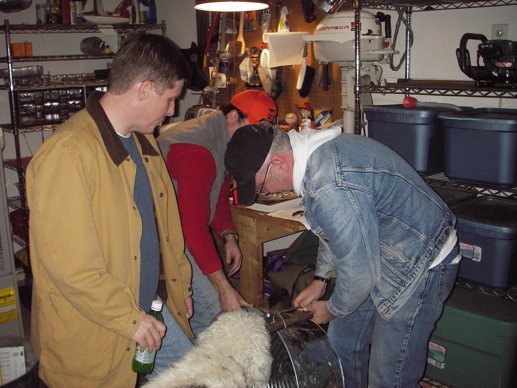
It took two pliers and Harry's teeth to pry
the handles off the washtub.


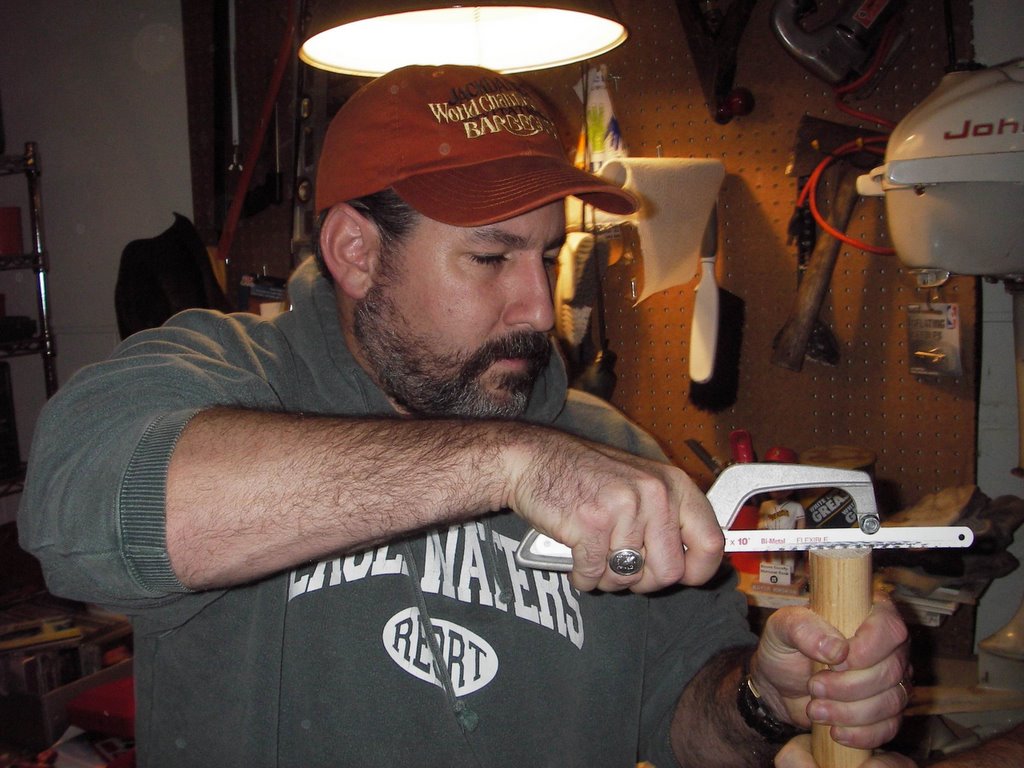
Bob Vila: "Measure twice, cut once."


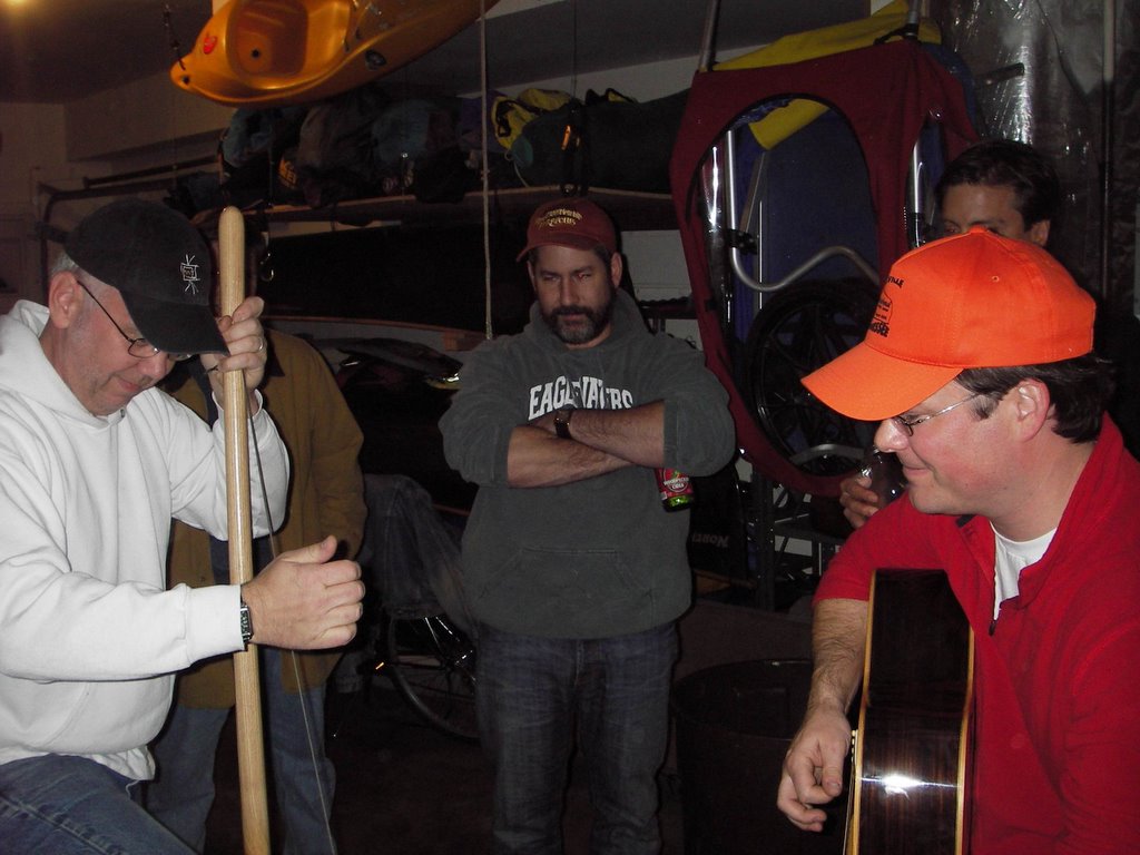
The first note. Success!


"Oh play me some mountain music
Like grandma and grandpa used to play
Then I'll float on down the river
To a Cajun hideaway..."


~

Thursday, November 10, 2005

Forecast

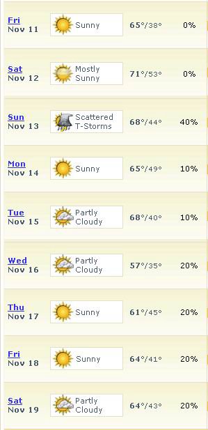
10-day forecasts are meaningless, basically. They have no idea. But since we're under 10 days and they publish it, we will too.

Wednesday, November 09, 2005

Watching the Gauges

This is a tricky time of year to float the Red River. It hasn't rained in months, but it looks like it's about to and we'll need to keep an eye on the river level. Too much and it's dangerous, too little and it's a hike instead of a paddle. Especially with loaded canoes. Although as long as we're not hauling a bunch of cast iron cookware and beer, I'm sure we'll be fine...

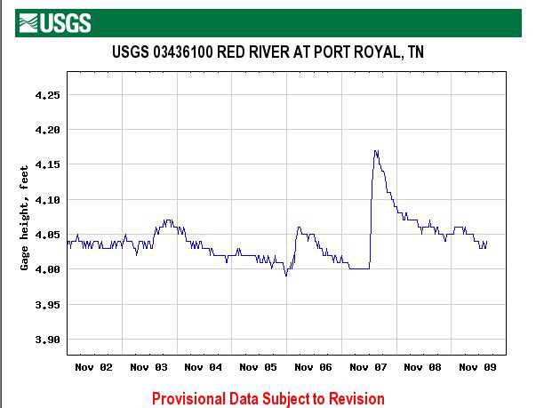
There's a link on the right that shows the USGS gauges for Tennessee. Scroll down to Montgomery County and find the Port Royal gauge on the Red River. Ignore the first graph ("Discharge/cubic feet per second") and go to the second that shows gauge height in feet.

Here's what it looks like today:


Here is the "What It Means To Us" scale for this section of the Red:

3.0 Anything with a 3 in front of it is very low. Upper 3's is passable but lots of dragging. Lower 3's is probably just not worth it and we'll go to a different river.

4.0 Low 4's is ok. Occasional dragging with an empty boat, more if heavy. Upper 4's and our section can be floated pretty much the whole way without dragging if you know how to find the deeper channels.

5.0 Ideal. When the Red is in the 5's it makes a perfect, lazy float trip.

6.0 Ditto. Except add adjectives like "fast" and "fun".

7.0 Getting pushy.

8.0+ Time to go to Knoxville for the big game.

Also, before praying for rain and a 6.5 next weekend, keep in mind that some (maybe most) of the best gravel bars may be underwater at that level. The RRCC archives say that the river was at 4.1 feet when the pictures of the campsite were taken (see below). We might float right over the top of that one if the river is two feet higher.

Monday, November 07, 2005

Getting Serious About the Washtub Bass

Here are some choices for building plans.

Bass #1 is simple. Maybe too simple, even for us. We'll need a tennis ball.

Bass #2 looks like the best overall set of plans, and not just because it uses a toilet plunger and an "eye hoe". It looks like the best bass we could realistically build in one night.

Or just go to Tubotonia (The Washtub Bass Homepage) and click on WTB Designs for all kinds of choices and building tips.

Friday, November 04, 2005

Red River Campsite Proposal

The choice of campsites on the Red depends on water level to some extent, but I say we aim for the small, second island at the mouth of Sturgeon Creek. The big island is high and wooded, but the one just downstream has a nice, long bar with water on three sides (it's really an "island" only in flood).

The islands are about two-thirds of the way through the 16-mile trip. Probably four hours of paddling assuming low water.

Click on any of these to zoom in...


This is a photo looking upstream from below the islands. The two tall trees in the center background are on the large island:


From La Pavilion to La Penninsula! Standing on the gravel bar, looking downstream:


This shot is taken from the large island, looking downstream at the campsite:


Keep in mind, the scenery won't be quite the same in November. Stuart, can your guys superimpose a light dusting of snow on these images?