
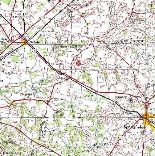
The river flows east to west, so the put-in would be on the right edge of this map at the Keysburg Road bridge. It is about 16 river miles to the take-out at Hwy 41 and the L&N railroad bridge on the left side. We will start in Tennessee, paddle briefly into Kentucky, and then back into Tennessee for the rest of the trip.
The Bell Witch Cave is on the south bank of the river, downstream from Sturgeon Creek but before the next bridge.
Here is a regional map of the area.
No comments:
Post a Comment